

Szkło mapy, mapy płytki szklane, panel szklany mapy, mapy na szkle
FILTRUJ WYNIKI
Orientacja obrazów: wszystkie
pozioma
pionowa
kwadratowa
Rodzaj obrazów: wszystkie
zdjęcie
ilustracja
wektor
Zastosuj
#608939506
 Vector illustration with isolated map of European Union and flag. Concept has state borders of...
#608143143
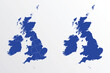 United Kingdom map vector illustration. blue color on white background
#604568008
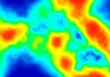 Heat map. Abstract infrared thermographic background. Vector illustration.
#602759639
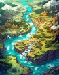 Fantasy map for a game, game board, generative ai
#599419838
 Animals world map for kids
#595784355
 Ocean topographic line map with curvy wave isolines vector illustration. Sea depth topographic...
#186769136
 Koh Samui beach and road vector map
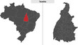
#592753680
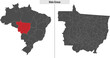 map of Mato Grosso state of Brazil
#584411574
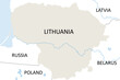 high detailed vector map of Lithuania
#578978630
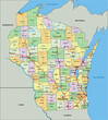 Wisconsin - Highly detailed editable political map with labeling.
#575230598
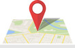
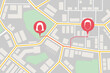
 City map with red pin of GPS location. 3d vector illustration
#238760054
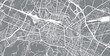
 Urban vector city map of Derry, Ireland
#232492085
 Urban vector city map of Bologna, Italy
#231029198
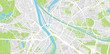 Urban vector city map of Mannheim, Germany
#191032356
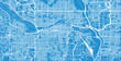
 Urban vector city map of Edmonton, Canada
#190753518
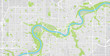
 Urban vector city map of Calgary, Canada
#113285677
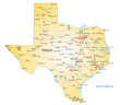 road map of the US state texas
#107239904
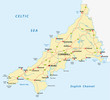 vector road map of cornwall, united kingdom
#764676557
 Topographic map background geographic line map pattern .panorama view black color wave curve lines...
#592749771
 map of Tocantins state of Brazil
#573179573
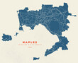 Naples city map vector poster flyer
#565517264
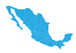 mexico map. High detailed blue map of mexico on PNG transparent background.
#561551012
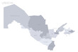 Uzbekistan political map of administrative divisions - regions, autonomous republic of...
#534723601
 Stylized map of the streets of Singapore made with white lines on black background. Top view. 3d...
#530506873
 Folded paper city map
#528707366
 Empire of Brazil the largest borders detailed map with capital and the all world with all sea and...
#527104006
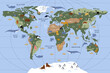
 World map vector, isolated on black background. Flat Earth, gray map template for web site pattern,...
#526257424
 Top view map with pin markers showing GPS location of people or friends in the city with direction
#522529706
 Morocco map and flag. vector
#518769578
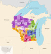 Wisconsin's congressional districts (2013-2023) vector map with neighbouring states and terrotories
#515722843
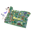 Oregon infographic flat hand drawn vector illustration. American state map isolated.
#506362956
 Glowing blue map and digital data concept on bright city background. Info, news and planet concept....
dodaj do ulubionych