

Fototapeta mapy, mapy na fototapecie, fototapety mapy
FILTRUJ WYNIKI
Orientacja obrazów: wszystkie
pozioma
pionowa
kwadratowa
Rodzaj obrazów: wszystkie
zdjęcie
ilustracja
wektor
Zastosuj
#612982008
 Abstract city map aerial view with drone. Spider diagram radar chart infographic template. Modern...
#243858817
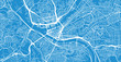 Urban vector city map of Pittsburgh, Pennsylvania, United States of America
#608560915
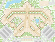 Editable vector illustration of an unlabelled generic shopping mall map
#603302130
 Illustration of a smartphone with airplane wings and a world map. Representing travel and adventure....
#681057203
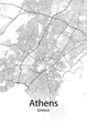 Athens Greece minimalist map
#599922425
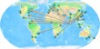
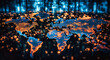 the world map on a display of lights
#595792055
 Country map watercolor sublimation background on white background. Spain
#593383913
 Planet Earth globe world set
#588119131
 glowing map with location pins on blurry blue background. GPS and navigation concept. 3D Rendering.
#577355744
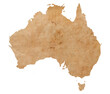 map of Australia on old brown grunge paper
#576115050
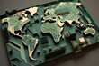 3d topographic world map view with detailed circuit board textures, generative AI
#574256060
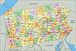 Pennsylvania - Highly detailed editable political map with labeling.
#570455470
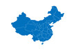 China political map of administrative divisions - provinces, autonomous regions and municipalities....
#570325872
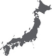 doodle freehand drawing of japan map.
#568904157
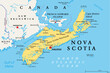 Nova Scotia, Maritime and Atlantic province of Canada, political map. Cape Breton Island and Nova...
#567371489
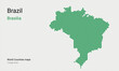 Creative map of Brazil. Political map. Capital of Brasilia. World Countries vector maps series....
#188530781
 Urban vector city map of Sheffield, England
#166366774
 Urban city map of Helsinki, Finland
#582031476
 An interactive map displaying real-time data from around the world, with color-coded markers...
#561778700
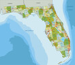 Highly detailed editable political map with separated layers. Florida
#551321465
 Dalarna map, Sweden, Europe. Filled and outline map designs. Vector illustration
#537322234
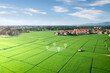 Land plot in aerial view. Gps registration survey of property, real estate for map with location,...
#536799744
 3D earth globe with pinpoints online deliver service, delivery tracking, pin location point marker...
#534275934
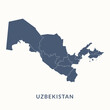 Map of Uzbekistan. Uzbekistan map vector illustration.
#532124857
 Maldives concept map centered on Europe and Africa, export concept map for Maldives on white...
#529506239
 3D rendering of the Oman map Geography Cartography and topology illustration vector
#528623098
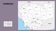 Cambodia Map. State and district map of Cambodia. Administrative map of Cambodia with district and...
#521086362
 Colorful political map World continents.
#520229965
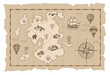 Old treasure map vector sketch. Hand drawn illustrations, vector.
#517809792
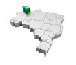 Brazil map with Roraima state flag in 3d render
#506854781
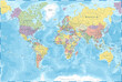 World Map - Color Political - Vector Detailed Illustration
#505980700
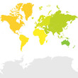
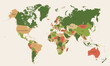 World map in pastel color tones. Country borders are colored differently.
dodaj do ulubionych